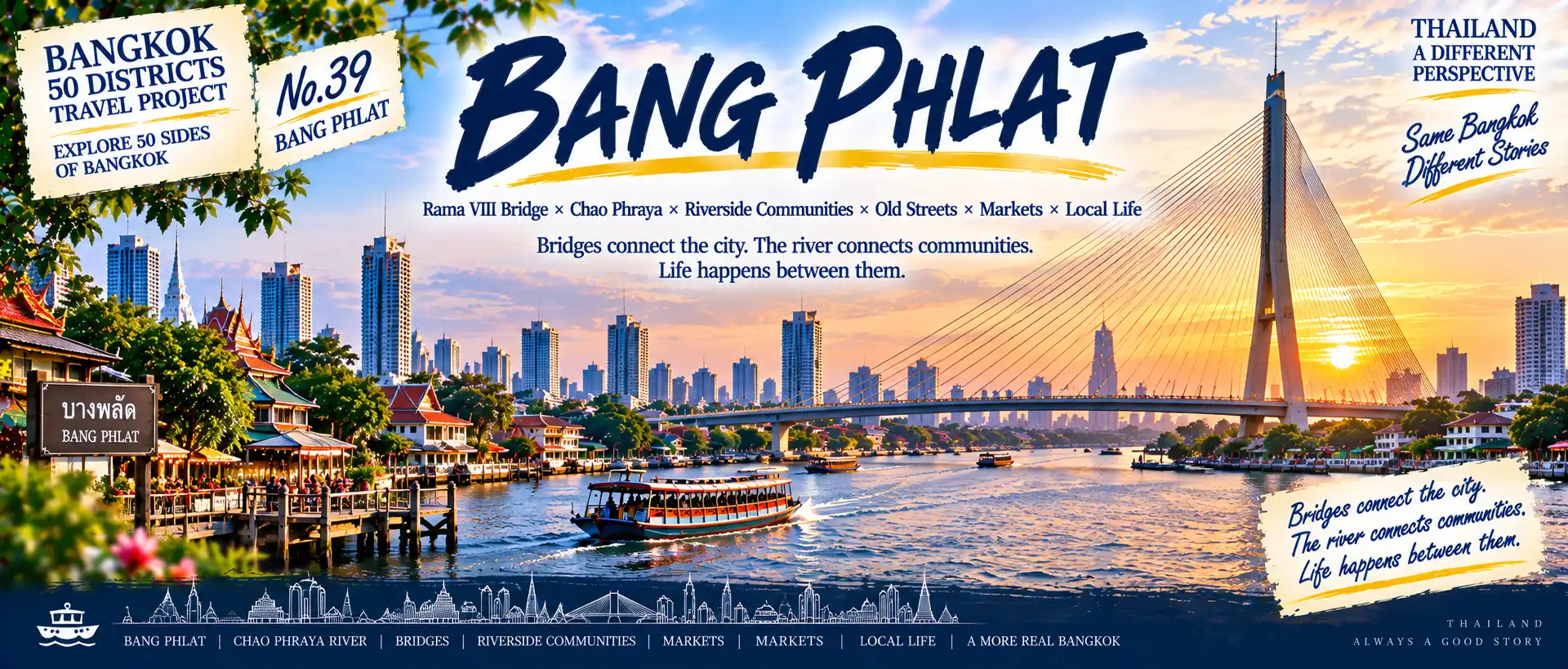
Many people have already passed through Bang Phlat
without realizing it.
Travel west from central Bangkok,
cross the Chao Phraya,
and continue north along the river.
Gradually,
the city begins to move away from its busiest tourist areas.
Rama VIII Bridge.
Chao Phraya River.
Krung Thon Bridge.
Riverside homes.
Old communities.
Markets.
Temples.
Schools.
There may not be one major attraction where everyone lines up for a photograph.
Instead,
Bang Phlat reveals another very typical side of Bangkok:
A city that continues to grow along its river, bridges and communities.
01|Continuing North Along the Chao Phraya
Continue north from Bangkok Noi,
and the city enters Bang Phlat.
Bangkok Noi.
↓
Chao Phraya River.
↓
Bang Phlat.
↓
Bridges.
↓
Local Community.
This time,
the most visible urban symbol is no longer a canal or railway.
It is:
The bridge.
Bridges connect Bangkok’s eastern and western banks.
But underneath them,
another city exists—
the everyday Bangkok of local residents.

BANGKOK NOI
↓
CHAO PHRAYA RIVER
↓
BANG PHLAT
↓
BRIDGES
↓
LOCAL COMMUNITY
RIVER × BRIDGES × HOMES × MARKETS × COMMUNITY
**Continue north along the Chao Phraya,
from major transport routes into real riverside life.**
02|How Did Bridges Change Bang Phlat?
In modern Bangkok,
a bridge is more than a structure.
It represents connection.
East bank and west bank.
Homes and businesses.
Neighborhoods and the city center.
Cars.
Buses.
Residents.
Thousands of people cross these bridges every day.
But bridges do more than move traffic.
They also change how surrounding land is used
and allow the city to expand around new transportation connections.
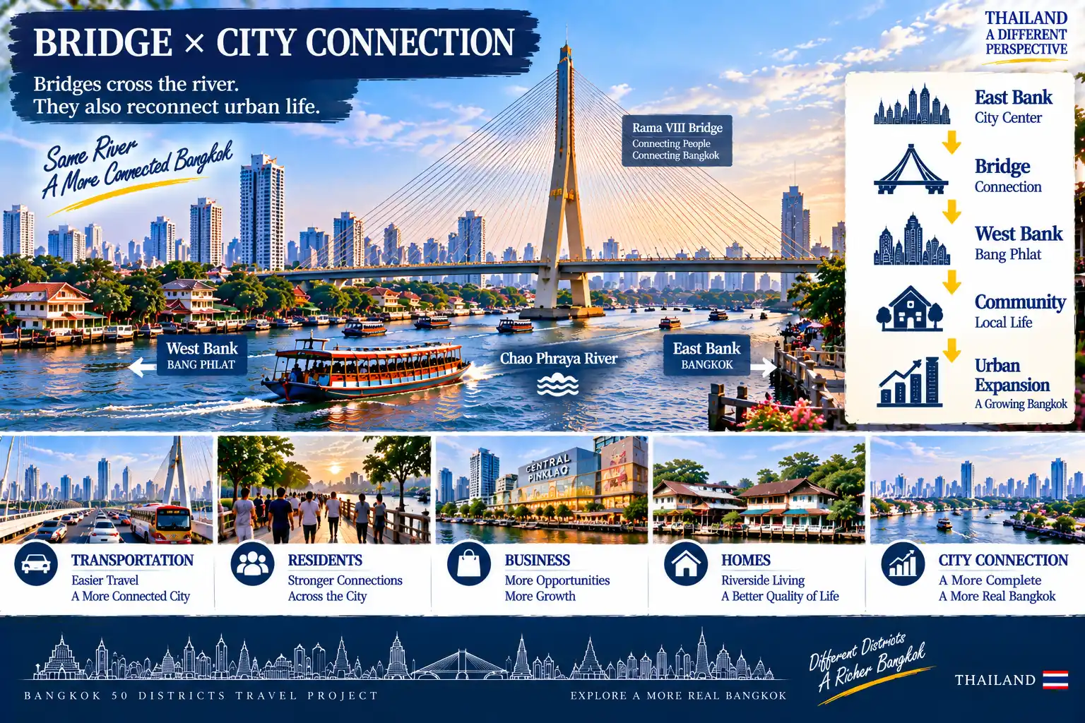
BRIDGE × CITY CONNECTION
EAST BANK
↓
BRIDGE
↓
WEST BANK
↓
COMMUNITY
↓
URBAN EXPANSION
TRANSPORT × RESIDENTS × BUSINESS × HOMES × CITY CONNECTION
**Bridges cross the river.
They also reconnect urban life.**
03|Rama VIII Bridge: Part of Bangkok’s Skyline
Rama VIII Bridge
has become one of the most recognizable structures along this part of the Chao Phraya.
Bridge tower.
Cable stays.
River.
Boats.
Bangkok skyline.
During the day,
it carries traffic.
At sunset,
it becomes part of the cityscape.
At night,
lights transform the riverfront again.
A piece of transportation infrastructure
has gradually become part of Bangkok’s visual identity.
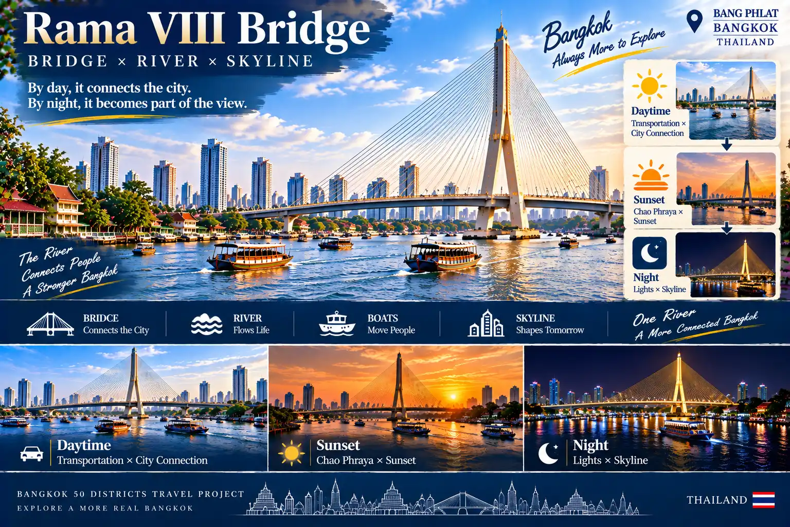
BRIDGE × RIVER × SKYLINE
DAY|TRANSPORT × CITY CONNECTION
↓
SUNSET|CHAO PHRAYA × SUNSET
↓
NIGHT|LIGHTS × SKYLINE
BRIDGE × RIVER × BOATS × CITYSCAPE
**By day, it connects the city.
By night, it becomes part of the view.**
04|Bangkok Above the Bridge VS Bangkok Below the Bridge
From the bridge,
you see:
The river.
High-rises.
Roads.
The skyline.
But walk underneath it,
and the scale of the city changes completely.
Homes.
Small shops.
Markets.
Residents.
Motorbikes.
Street food.
This is one of the most interesting things about Bang Phlat.
From almost the same location,
you can experience two completely different versions of Bangkok.
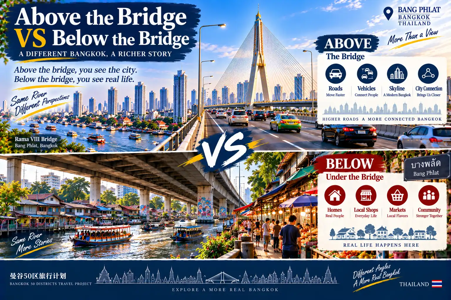
ABOVE THE BRIDGE × BELOW THE BRIDGE
ABOVE
ROADS × VEHICLES × SKYLINE × CITY CONNECTION
VS
BELOW
HOMES × SMALL SHOPS × MARKETS × RESIDENTS × COMMUNITY
**Above the bridge, you see the city.
Below the bridge, you see everyday life.**
05|Bang Phlat’s Riverside Communities
The Chao Phraya is more than a river running through Bangkok.
It has also shaped many of the communities along its banks.
Homes developed near the river.
Temples stood close to waterways.
Piers connected residents.
Markets served neighborhoods.
Boats continued moving across the water.
Life in Bang Phlat
therefore remains closely connected to the river.
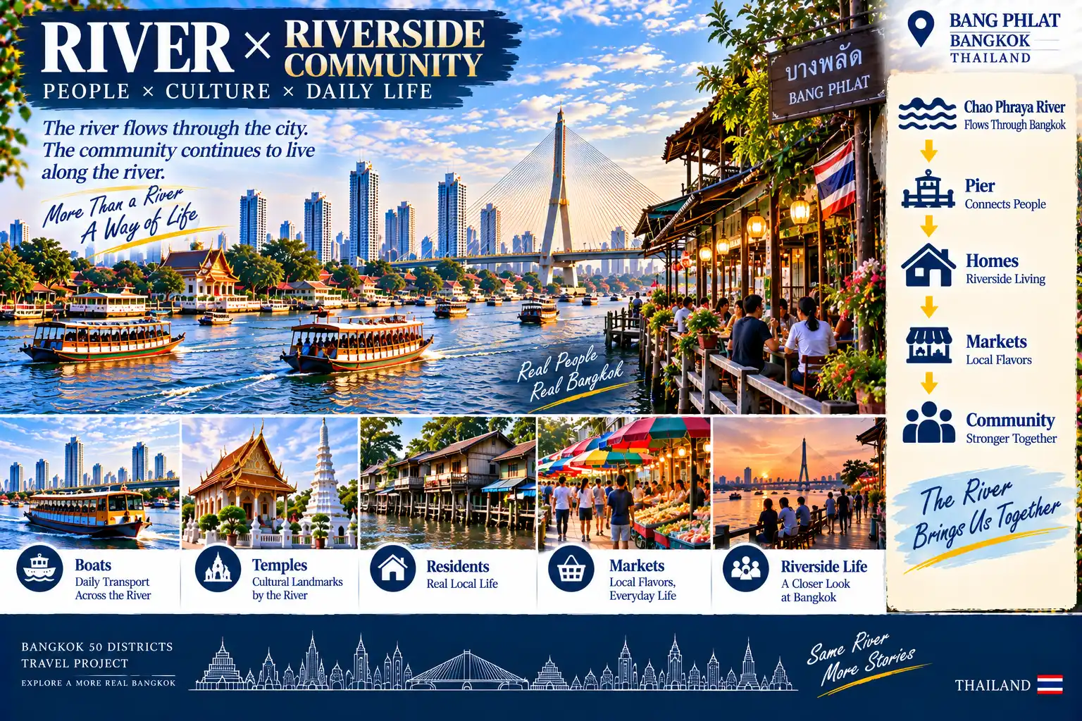
RIVER × RIVERSIDE COMMUNITY
CHAO PHRAYA
↓
PIERS
↓
HOMES
↓
MARKETS
↓
COMMUNITY
BOATS × TEMPLES × RESIDENTS × RIVERSIDE LIFE
**The river flows through the city.
Communities continue to live along its banks.**
06|Bang Phlat Local Market
By midday,
one of the most authentic sides of Bang Phlat appears in its local markets.
Breakfast.
Fruit.
Prepared food.
Vegetables.
Street food.
Students.
Residents.
Office workers.
These places may not have the scale of major shopping malls,
but they perform one of the city’s most important functions:
They provide residents with what they need every day.
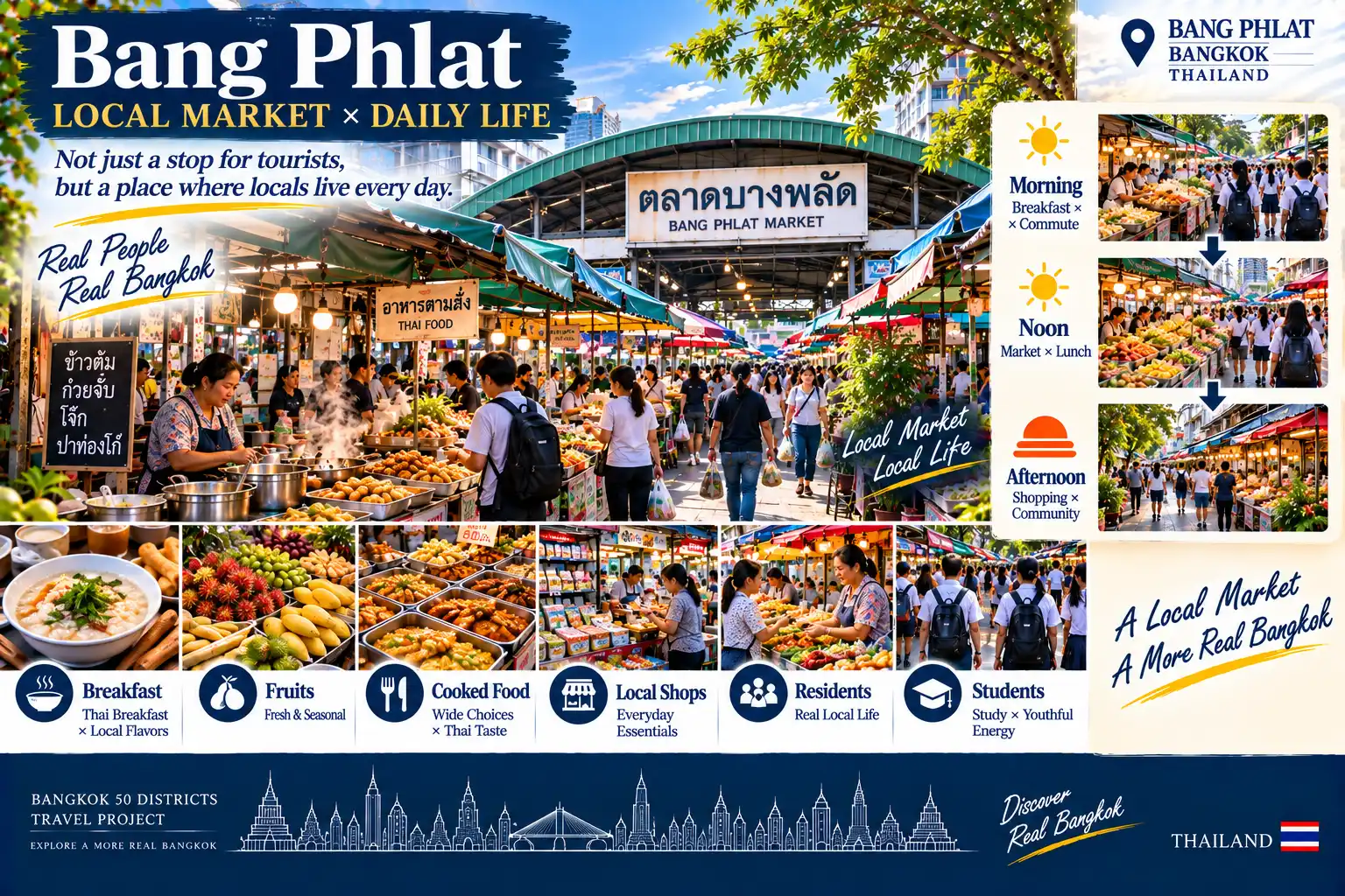
LOCAL MARKET × DAILY LIFE
BREAKFAST × FRUIT × LOCAL FOOD × SMALL SHOPS × RESIDENTS × STUDENTS
MORNING|BREAKFAST × COMMUTE
↓
NOON|MARKET × LUNCH
↓
AFTERNOON|SHOPPING × COMMUNITY
**Visitors pass through.
Residents live here every day.**
07|Bang Phlat from Day to Night
Bang Phlat is a district worth experiencing from daytime into the evening.
During the day,
explore the communities and markets.
In the afternoon,
move slowly along the riverfront.
At sunset,
return to the Chao Phraya.
After the sun goes down,
the bridges begin to glow.
City lights reflect across the water.
Infrastructure that seemed ordinary during the day
becomes part of Bangkok’s nighttime landscape.
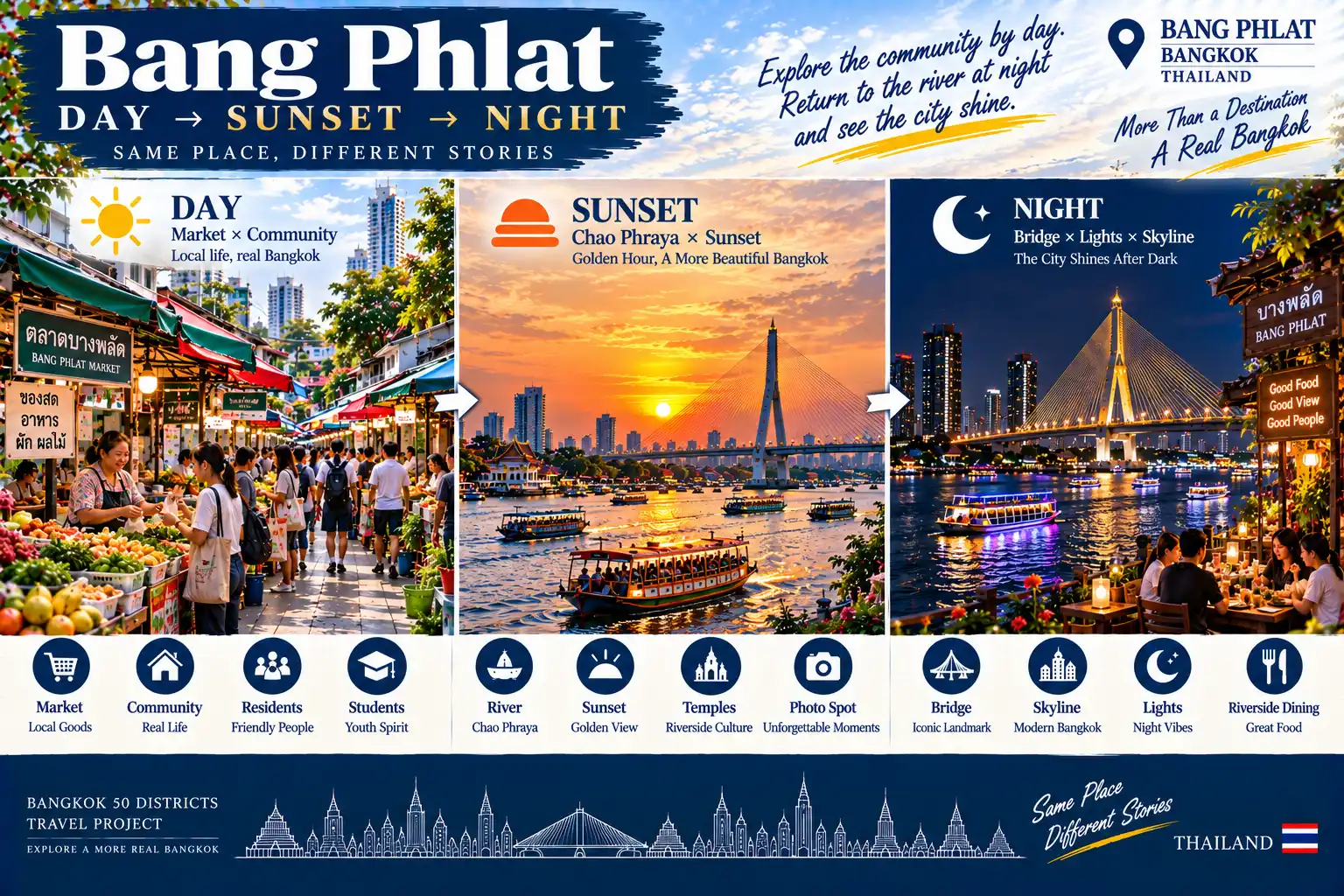
DAY → SUNSET → NIGHT
DAY|MARKET × COMMUNITY
↓
SUNSET|CHAO PHRAYA × SUNSET
↓
NIGHT|BRIDGE × LIGHTS × SKYLINE
**Explore the community by day.
Return to the river at night and watch the city light up.**
08|A One-Day Bang Phlat Travel Plan
For a first visit,
think of the day as:
“From bridges into communities, then back to the river as night falls.”
09:00|Depart Central Bangkok
Head toward the western bank of the Chao Phraya.
09:30|Cross the Chao Phraya
Enter Bangkok’s west bank.
10:00|Rama VIII Bridge
Observe how the bridge connects different parts of the city.
11:30|Riverside × Old Community
Move away from the main transport routes.
12:30|Local Lunch
Eat inside the neighborhood.
14:00|Local Market
Experience the rhythm of everyday life.
15:30|Temple × Riverside Community
Continue exploring the neighborhoods along the river.
17:00|Chao Phraya River
Return to the waterfront.
18:00|Bridge × Sunset
End the day with the bridge, river and sunset.
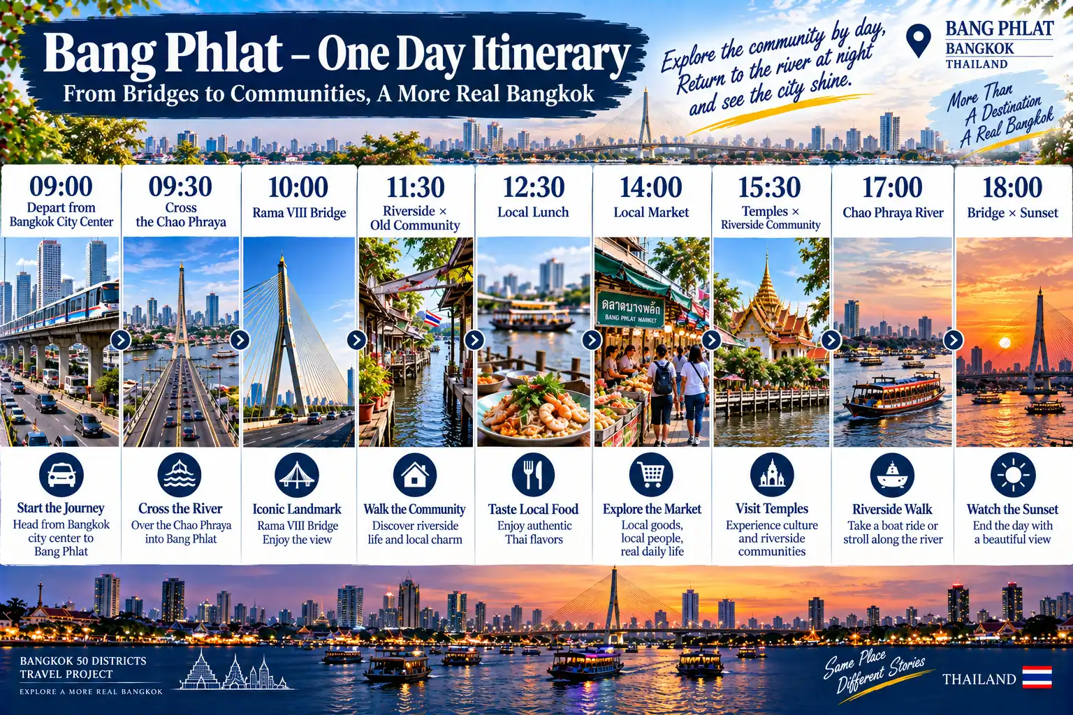
09:00|DEPART CENTRAL BANGKOK
09:30|CROSS THE CHAO PHRAYA
10:00|RAMA VIII BRIDGE
11:30|RIVERSIDE × OLD COMMUNITY
12:30|LOCAL LUNCH
14:00|LOCAL MARKET
15:30|TEMPLE × RIVERSIDE COMMUNITY
17:00|CHAO PHRAYA RIVER
18:00|BRIDGE × SUNSET
**One day,
from the bridges into local communities,
then back to the Chao Phraya as the city begins to glow.**
09|Why Is Bang Phlat Worth This Stop?
Because Bang Phlat reveals something about cities that travelers can easily overlook.
When we travel,
we often focus on destinations.
For residents,
connections are just as important.
Bridges connect two banks.
Roads connect neighborhoods.
Piers connect people with the river.
Markets connect everyday needs.
Homes connect people with the city.
Bang Phlat is not a district defined by one major attraction.
What makes it interesting is the opportunity to see:
**How a city continues to function between transportation, the river and everyday community life.**
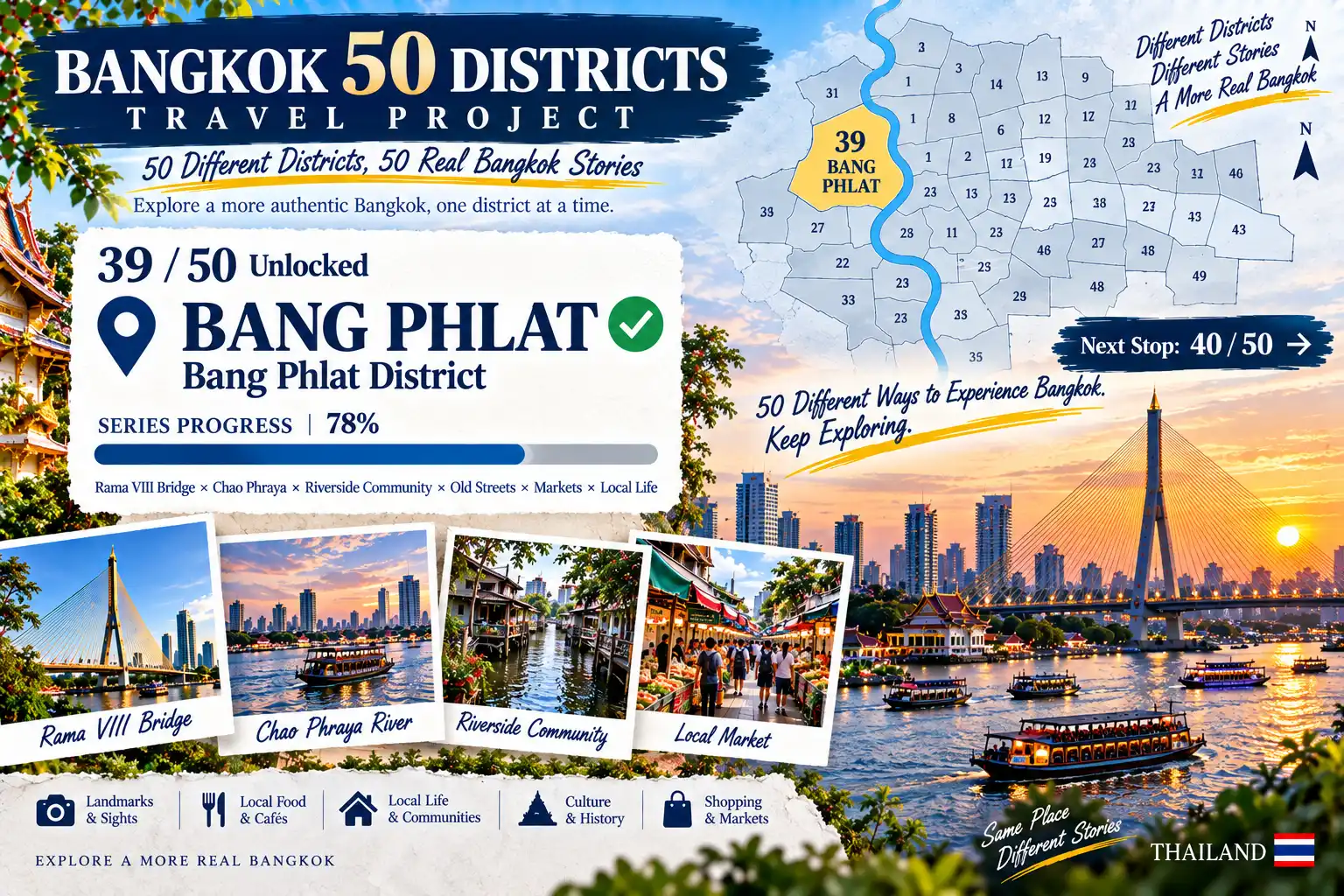
BANGKOK 50 DISTRICTS TRAVEL PROJECT
**39 / 50 UNLOCKED**
BANG PHLAT ✓
SERIES PROGRESS|78%
RAMA VIII BRIDGE × CHAO PHRAYA × RIVERSIDE COMMUNITIES × OLD STREETS × MARKETS × LOCAL LIFE
NEXT STOP: 40 / 50
**50 districts.
50 different ways of life.
Keep exploring Bangkok.**